

Geodetic Surveyors
Geodesist, Geodetic Advisor, Geodetic Surveyor, Land Surveyor
What they do:
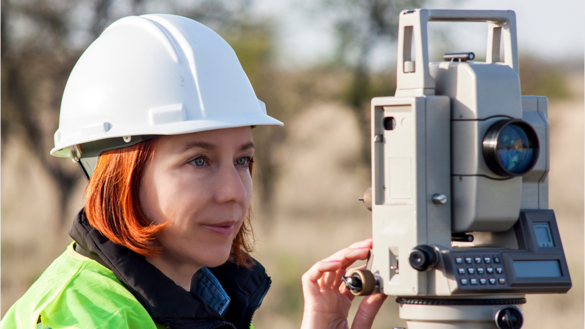
Measure large areas of the Earth's surface using satellite observations, global navigation satellite systems (GNSS), light detection and ranging (LIDAR), or related sources.
On the job, you would:
- Analyze control or survey data to ensure adherence to project specifications or land survey standards.
- Conduct surveys to determine exact positions, measurement of points, elevations, lines, areas, volumes, contours, or other features of land surfaces.
- Calculate the exact horizontal and vertical position of points on the Earth's surface.
Knowledge
Math and Science
- arithmetic, algebra, geometry, calculus, or statistics
- geography
Engineering and Technology
- product and service development
- computers and electronics
Arts and Humanities
- English language
Education and Training
- teaching and course design
Skills
Basic Skills
- using math to solve problems
- reading work related information
Problem Solving
- noticing a problem and figuring out the best way to solve it
People and Technology Systems
- thinking about the pros and cons of different options and picking the best one
- figuring out how a system should work and how changes in the future will affect it
Abilities
Verbal
- communicate by speaking
- communicate by writing
Math
- choose the right type of math to solve a problem
- add, subtract, multiply, or divide
Ideas and Logic
- make general rules or come up with answers from lots of detailed information
- order or arrange things
Visual Understanding
- see hidden patterns
Personality
People interested in this work like activities that include practical, hands-on problems and solutions.
They do well at jobs that need:
- Attention to Detail
- Dependability
- Intellectual Curiosity
- Integrity
- Perseverance
Technology
You might use software like this on the job:
Computer aided design CAD software
- Autodesk AutoCAD Hot Technology
- Bentley MicroStation Hot Technology
Presentation software
- Microsoft PowerPoint Hot Technology
Analytical or scientific software
- QuickCogo
- Underhill Geomatics Copan
Education
Education: (rated 3 of 4)
bachelor's degree
usually needed
usually needed
Job Outlook

Average
New job opportunities are likely in the future.

Explore More
- Cartographers & Photogrammetrists
- Geographic Information Systems Technologists & Technicians
- Geological Technicians
- Surveying & Mapping Technicians
- Surveyors
You might like a career in one of these industries:
See more details at O*NET OnLine about Geodetic Surveyors.