

Remote Sensing Technicians
Digital Cartographic Technician, Geospatial Extractor, Meteorologist Liaison, Research Associate
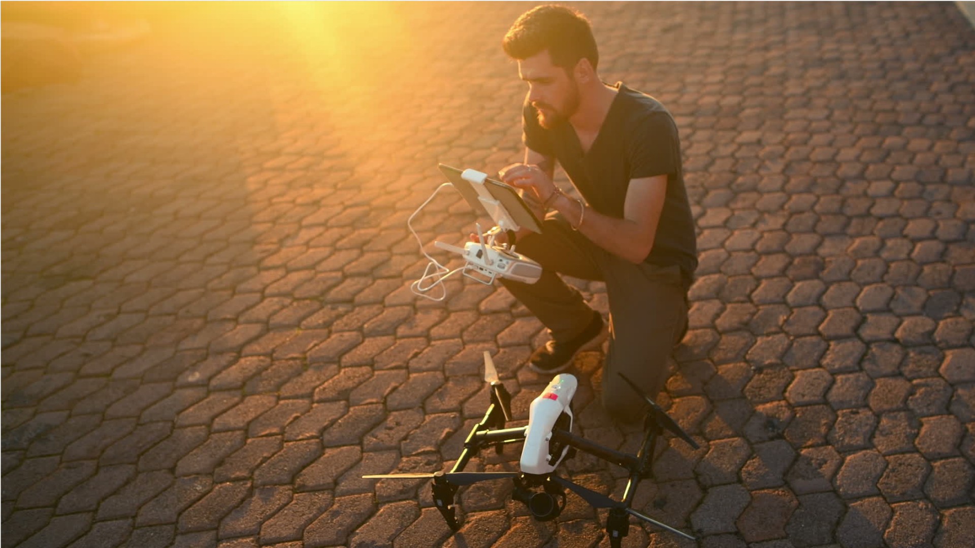
What they do:
Apply remote sensing technologies to assist scientists in areas such as natural resources, urban planning, or homeland security. May prepare flight plans or sensor configurations for flight trips.
On the job, you would:
- Collect geospatial data, using technologies such as aerial photography, light and radio wave detection systems, digital satellites, or thermal energy systems.
- Verify integrity and accuracy of data contained in remote sensing image analysis systems.
- Integrate remotely sensed data with other geospatial data.
Knowledge
Math and Science
- geography
- arithmetic, algebra, geometry, calculus, or statistics
Engineering and Technology
- computers and electronics
- product and service development
Business
- customer service
Manufactured or Agricultural Goods
- manufacture and distribution of products
Skills
Basic Skills
- thinking about the pros and cons of different ways to solve a problem
- reading work related information
Problem Solving
- noticing a problem and figuring out the best way to solve it
People and Technology Systems
- figuring out how a system should work and how changes in the future will affect it
- thinking about the pros and cons of different options and picking the best one
Abilities
Ideas and Logic
- notice when problems happen
- order or arrange things
Verbal
- communicate by speaking
- listen and understand what people say
Math
- choose the right type of math to solve a problem
- add, subtract, multiply, or divide
Visual Understanding
- see hidden patterns
Personality
People interested in this work like activities that include practical, hands-on problems and solutions.
They do well at jobs that need:
- Attention to Detail
- Dependability
- Intellectual Curiosity
- Adaptability
- Integrity
- Achievement Orientation
Technology
You might use software like this on the job:
Analytical or scientific software
- SAS

- The MathWorks MATLAB

Presentation software
- Microsoft PowerPoint
Development environment software
- Microsoft .NET Framework
- Microsoft PowerShell
Education
Education: (rated 4 of 5)
bachelor's degree
usually needed
usually needed
Job Outlook

Average
New job opportunities are likely in the future.

Explore More
- Camera Operators, Television, Video, & Film
- Electro-Mechanical & Mechatronics Technologists & Technicians
- Geodetic Surveyors
- Geological Technicians
- Remote Sensing Scientists & Technologists
You might like a career in one of these industries:
See more details at O*NET OnLine about Remote Sensing Technicians.