

Surveyors
County Surveyor, Land Surveyor, Licensed Land Surveyor, Surveyor
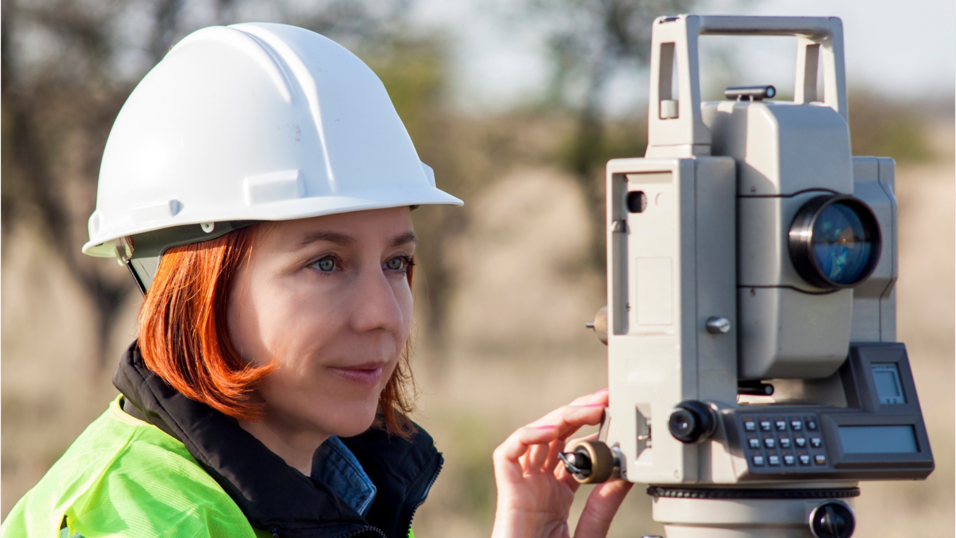
What they do:
Make exact measurements and determine property boundaries. Provide data relevant to the shape, contour, gravitation, location, elevation, or dimension of land or land features on or near the earth's surface for engineering, mapmaking, mining, land evaluation, construction, and other purposes.
On the job, you would:
- Direct or conduct surveys to establish legal boundaries for properties, based on legal deeds and titles.
- Prepare and maintain sketches, maps, reports, and legal descriptions of surveys to describe, certify, and assume liability for work performed.
- Write descriptions of property boundary surveys for use in deeds, leases, or other legal documents.
Knowledge
Math and Science
- arithmetic, algebra, geometry, calculus, or statistics
- geography
Engineering and Technology
- product and service development
- computers and electronics
Business
- customer service
- management
Arts and Humanities
- English language
Skills
Basic Skills
- using math to solve problems
- reading work related information
Problem Solving
- noticing a problem and figuring out the best way to solve it
People and Technology Systems
- thinking about the pros and cons of different options and picking the best one
- figuring out how a system should work and how changes in the future will affect it
Abilities
Math
- choose the right type of math to solve a problem
- add, subtract, multiply, or divide
Verbal
- read and understand what is written
- communicate by writing
Ideas and Logic
- use rules to solve problems
- make general rules or come up with answers from lots of detailed information
Spatial
- imagine how something will look after it is moved around or changed
Personality
People interested in this work like activities that include data, detail, and regular routines.
They do well at jobs that need:
- Attention to Detail
- Integrity
- Dependability
- Persistence
- Analytical Thinking
- Cooperation
Technology
You might use software like this on the job:
Computer aided design CAD software
- Autodesk AutoCAD Civil 3D


- Bentley MicroStation
Analytical or scientific software
- Sokkia Spectrum Survey Suite
- Survey software
Map creation software
- Geomechanical design analysis GDA software
- Sokkia Imap
Education
Education: (rated 4 of 5)
bachelor's degree or
some college
usually needed
some college
usually needed
Job Outlook

Bright
New job opportunities are very likely in the future.

Explore More
- Cartographers & Photogrammetrists
- Civil Engineers
- Construction & Building Inspectors
- Geodetic Surveyors
- Surveying & Mapping Technicians
You might like a career in one of these industries:
See more details at O*NET OnLine about surveyors.