

Cartographers & Photogrammetrists
Cartographer, Photogrammetric Technician, Photogrammetrist, Stereo Compiler
What they do:
Research, study, and prepare maps and other spatial data in digital or graphic form for one or more purposes, such as legal, social, political, educational, and design purposes. May work with Geographic Information Systems (GIS). May design and evaluate algorithms, data structures, and user interfaces for GIS and mapping systems. May collect, analyze, and interpret geographic information provided by geodetic surveys, aerial photographs, and satellite data.
On the job, you would:
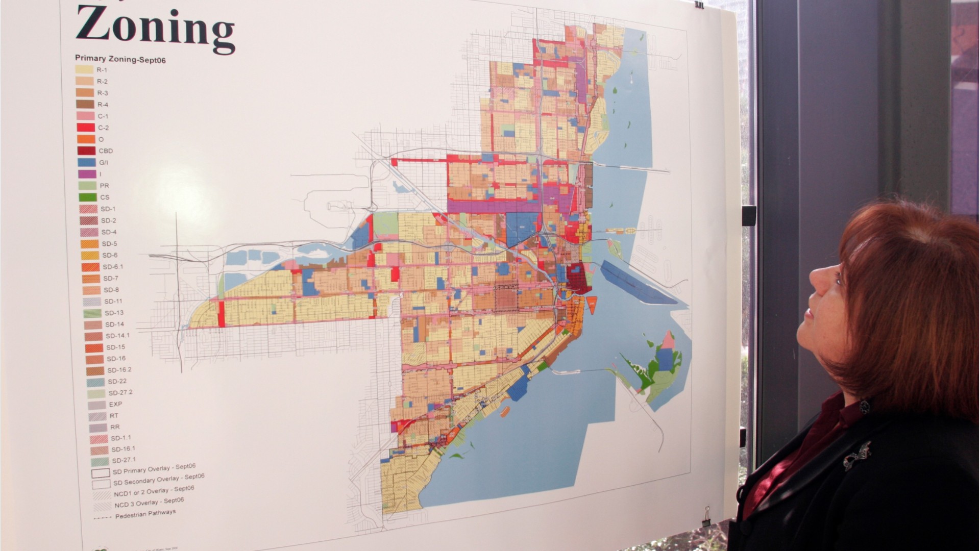
- Compile data required for map preparation, including aerial photographs, survey notes, records, reports, and original maps.
- Delineate aerial photographic detail, such as control points, hydrography, topography, and cultural features, using precision stereoplotting apparatus or drafting instruments.
- Prepare and alter trace maps, charts, tables, detailed drawings, and three-dimensional optical models of terrain using stereoscopic plotting and computer graphics equipment.
Knowledge
Math and Science
- geography
- arithmetic, algebra, geometry, calculus, or statistics
Engineering and Technology
- computers and electronics
- design
Arts and Humanities
- English language
Skills
Basic Skills
- reading work related information
- thinking about the pros and cons of different ways to solve a problem
Problem Solving
- noticing a problem and figuring out the best way to solve it
Abilities
Verbal
- read and understand what is written
- listen and understand what people say
Ideas and Logic
- make general rules or come up with answers from lots of detailed information
- use rules to solve problems
Visual Understanding
- see hidden patterns
- quickly compare groups of letters, numbers, pictures, or other things
Personality
People interested in this work like activities that include data, detail, and regular routines.
They do well at jobs that need:
- Intellectual Curiosity
- Cautiousness
- Attention to Detail
- Dependability
- Integrity
- Achievement Orientation
Technology
You might use software like this on the job:
Graphics or photo imaging software
- Adobe Creative Cloud software

- Adobe Illustrator
Presentation software
- Microsoft PowerPoint
Map creation software
- Mapping software
- Precision analytical aerotriangulation pugging software
Education
Education: (rated 4 of 5)
certificate after high school or
bachelor's degree
usually needed
bachelor's degree
usually needed
Job Outlook

Bright
New job opportunities are very likely in the future.

Explore More
- Geodetic Surveyors
- Geographic Information Systems Technologists & Technicians
- Remote Sensing Technicians
- Surveying & Mapping Technicians
- Surveyors
You might like a career in one of these industries:
See more details at O*NET OnLine about Cartographers & Photogrammetrists.