

Surveying & Mapping Technicians
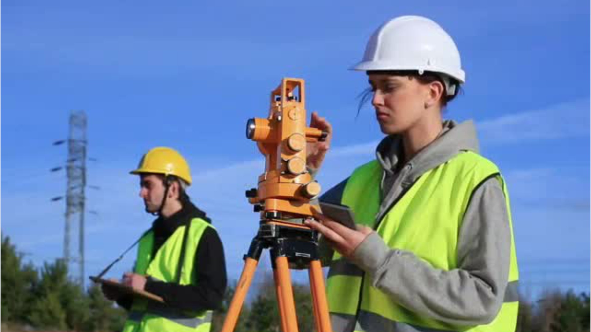
Land Surveyor, Mapping Technician (Mapping Tech), Stereoplotter Operator, Survey Technician (Survey Tech)
What they do:
Perform surveying and mapping duties, usually under the direction of an engineer, surveyor, cartographer, or photogrammetrist, to obtain data used for construction, mapmaking, boundary location, mining, or other purposes. May calculate mapmaking information and create maps from source data, such as surveying notes, aerial photography, satellite data, or other maps to show topographical features, political boundaries, and other features. May verify accuracy and completeness of maps.
On the job, you would:
- Set out and recover stakes, marks, or other monumentation.
- Search for section corners, property irons, or survey points.
- Calculate latitudes, longitudes, angles, areas, or other information for mapmaking, using survey field notes or reference tables.
Knowledge
Math and Science
- geography
- arithmetic, algebra, geometry, calculus, or statistics
Arts and Humanities
- English language
Business
- customer service
- management
Engineering and Technology
- computers and electronics
Skills
Basic Skills
- reading work related information
- thinking about the pros and cons of different ways to solve a problem
Problem Solving
- noticing a problem and figuring out the best way to solve it
Abilities
Verbal
- listen and understand what people say
- read and understand what is written
Visual Understanding
- see hidden patterns
- quickly compare groups of letters, numbers, pictures, or other things
Ideas and Logic
- make general rules or come up with answers from lots of detailed information
- use rules to solve problems
Math
- choose the right type of math to solve a problem
Personality
People interested in this work like activities that include practical, hands-on problems and solutions.
They do well at jobs that need:
- Attention to Detail
- Dependability
- Cautiousness
- Integrity
Technology
You might use software like this on the job:
Computer aided design CAD software
- Autodesk AutoCAD Civil 3D Hot Technology In Demand
- Bentley MicroStation Hot Technology In Demand
Presentation software
- Microsoft PowerPoint Hot Technology
Analytical or scientific software
- Coordinate geometry COGO software
- Triton Elics International Isis
Education
Education: (rated 2 of 4)
high school diploma/GED or
associate's degree or other 2-year degree
usually needed
associate's degree or other 2-year degree
usually needed
Job Outlook

Bright
New job opportunities are very likely in the future.

Explore More
- Cartographers & Photogrammetrists
- Geodetic Surveyors
- Geographic Information Systems Technologists & Technicians
- Geological Technicians
- Surveyors
You might like a career in one of these industries:
See more details at O*NET OnLine about Surveying & Mapping Technicians.