

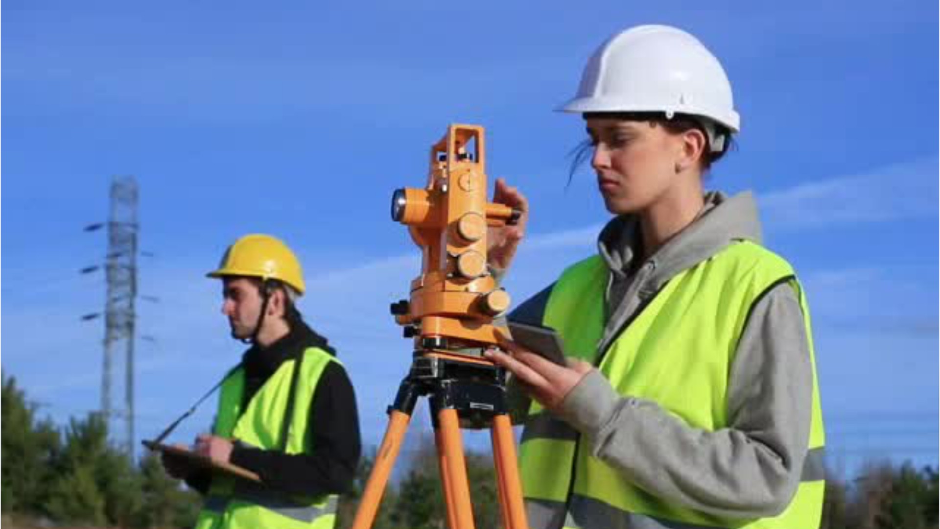
Surveying & Mapping Technicians
Mapping Technician, Photogrammetric Compilation Specialist, Photogrammetric Technician, Survey Technician
 Select a military branch to see samples.
Aerospace Medical Service; Aerospace Medical Service Craftsman, Neurodiagnostic Medical Technician; Aerospace Medical Service Superintendent; Airborne Cryptologic Language Analyst Craftsman, Korean; Airborne Cryptologic Language Analyst Journeyman, Arabic; All Source Intelligence Analyst Craftsman; Engineering; Health Services Management Apprentice; Heavy Aircraft Integrated Avionics Journeyman, C4ISR Mission Systems (E-3, E-4, E-7, EC-130H, RC-135, VC-25); Survival, Evasion, Resistance, Escape (SERE) Specialist Craftsman
Air and Missile Defense (AMD) Crewmember; Air and Missile Defense (AMD) Systems Tactician; AVENGER Crewmember (USAR/NG only); Construction Engineering Technician; Fire Control Specialist; Geospatial Engineer; Geospatial Intelligence Imagery Analyst; Indirect Fire Infantryman; Joint Fire Support Specialist; Special Forces Engineer Sergeant
No similar titles were found.
Critical Skills Operator; Engineer Assistant; Field Artillery Operations Man; Fire Support Marine; Geospatial Intelligence Specialist; Infantry Unit Leader; Joint Fires and Effects Integrator; Light Armored Reconnaissance (LAR) Operations Chief; Reconnaissance Marine; Target Mensuration Analyst
Advanced Engineering Aide; Advanced Strike and Tomahawk Land Attack Missile (TLAM) Mensuration Analyst; Conversion NEC EA Engineering Aid Basic; Conversion NEC IS Intelligence Specialist Basic; Engineering Aide; Geospatial Information and Services (GIandS) Officer; Geospatial Intelligence Analyst; Hospital Corpsman; Intelligence Specialist; Strike Warfare Intelligence Analyst
No similar titles were found.
What they do:
Perform surveying and mapping duties, usually under the direction of an engineer, surveyor, cartographer, or photogrammetrist, to obtain data used for construction, mapmaking, boundary location, mining, or other purposes. May calculate mapmaking information and create maps from source data, such as surveying notes, aerial photography, satellite data, or other maps to show topographical features, political boundaries, and other features. May verify accuracy and completeness of maps.
On the job, you would:
- Position and hold the vertical rods, or targets, that theodolite operators use for sighting to measure angles, distances, and elevations.
- Check all layers of maps to ensure accuracy, identifying and marking errors and making corrections.
- Design or develop information databases that include geographic or topographic data.
Knowledge
Engineering and Technology
- computers and electronics
- product and service development
Math and Science
- geography
- arithmetic, algebra, geometry, calculus, or statistics
Arts and Humanities
- English language
Business
- customer service
Skills
Basic Skills
- reading work related information
- thinking about the pros and cons of different ways to solve a problem
Problem Solving
- noticing a problem and figuring out the best way to solve it
Abilities
Verbal
- read and understand what is written
- communicate by speaking
Ideas and Logic
- make general rules or come up with answers from lots of detailed information
- notice when problems happen
Personality
People interested in this work like activities that include practical, hands-on problems and solutions.
They do well at jobs that need:
- Attention to Detail
- Dependability
- Cautiousness
- Integrity
- Achievement Orientation
- Intellectual Curiosity
Technology
You might use software like this on the job:
Computer aided design CAD software
- Autodesk AutoCAD Civil 3D


- Bentley MicroStation
Presentation software
- Microsoft PowerPoint
Analytical or scientific software
- Coordinate geometry COGO software
- Triton Elics International Isis
Education
Education: (rated 3 of 5)
Job Outlook

Bright
New job opportunities are very likely in the future.

Explore More
- Cartographers & Photogrammetrists
- Geodetic Surveyors
- Geographic Information Systems Technologists & Technicians
- Geological Technicians
- Surveyors
You might like a career in one of these industries:
See more details at O*NET OnLine about Surveying & Mapping Technicians.