

Remote Sensing Scientists & Technologists
Geospatial Intelligence Analyst, Image Scientist, Remote Sensing Analyst, Remote Sensing Scientist
 Select a military branch to see samples.
Airborne Cryptologic Language Analyst; Airborne Cryptologic Language Analyst Helper, Divested Languages; Airborne Mission Systems Specialist Apprentice, C-37; Airborne Mission Systems Specialist Journeyman; Battle Management Operations Journeyman, Weapons Director; Cryptologic Language Analyst Helper, Chinese; Intelligence; Physicist/Nuclear Engineer, Special Operations; Signals Intelligence Journeyman, Communications Analyst; Space Systems Operations Manager
Army Astronaut; Aviation All-Source Intelligence; Command and Control Systems Integrator; Field Artillery (FA) Weapons Locating Radar (WLR) Specialist; Geospatial Engineering Technician; Geospatial Intelligence Imagery Technician; Intelligence Systems Integration and Maintenance Technician; Signals Acquisition/Exploitation Analyst; Signals Intelligence (SIGINT) Voice Interceptor; Signals Intelligence Analyst
Cyber Intel; Marine Science Technician; Operations Specialist
Advanced Cryptologic Language Analyst; Aviation RADAR Technician; Electronic Intelligence/Electronic Warfare Analyst; Field Artillery Sensor Support Marine; Intelligence Operations and Fusion Warrant Officer; METOC Senior Forecaster; Radio Reconnaissance Marine; Signals Intelligence/Ground Electromagnetic Warfare Officer; Surveillance Sensor Operator; VMU MQ-9 Officer
Acoustic Intelligence Specialist; Afloat Cryptologic Manager; AN/SQQ-34C (V) 2 Aircraft Carrier Tactical Support Center (CV-TSC) Operator; Anti-Submarine Warfare Technician; Cryptologic Subsurface Augmentee Operator; Global Command and Control System-Maritime (GCCS-M) 4.x (Legacy 4.0.x/4.1.x Force Level) Operator; Maritime Intelligence, Surveillance, Reconnaissance (MISR) Weapons and Tactics Instructor (WTI); Multisensor Intelligence Officer; Radar (SPS-67(V)1) Technician; SSBN SSI Inc 4 Electronics Technician Journeyman
No similar titles were found.
What they do:
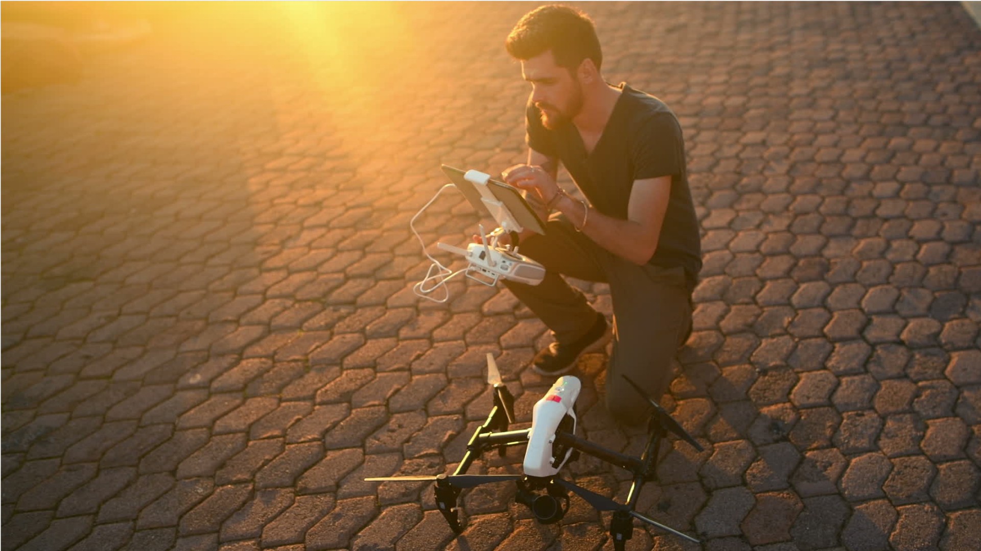
Apply remote sensing principles and methods to analyze data and solve problems in areas such as natural resource management, urban planning, or homeland security. May develop new sensor systems, analytical techniques, or new applications for existing systems.
On the job, you would:
- Manage or analyze data obtained from remote sensing systems to obtain meaningful results.
- Analyze data acquired from aircraft, satellites, or ground-based platforms, using statistical analysis software, image analysis software, or Geographic Information Systems (GIS).
- Integrate other geospatial data sources into projects.
Knowledge
Math and Science
- geography
- arithmetic, algebra, geometry, calculus, or statistics
Engineering and Technology
- computers and electronics
- product and service development
Arts and Humanities
- English language
Business
- customer service
Skills
Basic Skills
- reading work related information
- thinking about the pros and cons of different ways to solve a problem
Problem Solving
- noticing a problem and figuring out the best way to solve it
People and Technology Systems
- thinking about the pros and cons of different options and picking the best one
- figuring out how a system should work and how changes in the future will affect it
Abilities
Verbal
- communicate by speaking
- communicate by writing
Ideas and Logic
- make general rules or come up with answers from lots of detailed information
- use rules to solve problems
Math
- choose the right type of math to solve a problem
- add, subtract, multiply, or divide
Visual Understanding
- see hidden patterns
Personality
People interested in this work like activities that include ideas, thinking, and figuring things out.
They do well at jobs that need:
- Analytical Thinking
- Attention to Detail
- Integrity
- Achievement/Effort
- Persistence
- Adaptability/Flexibility
Technology
You might use software like this on the job:
Analytical or scientific software
- Calibration software
- The MathWorks MATLAB

Video creation and editing software
- YouTube
Object or component oriented development software
- Objective C
- Scala
Education
Education: (rated 4 of 5)
bachelor's degree or
master's degree
usually needed
master's degree
usually needed
Job Outlook

Average
New job opportunities are likely in the future.

Explore More
- Electro-Mechanical & Mechatronics Technologists & Technicians
- Geodetic Surveyors
- Geographic Information Systems Technologists & Technicians
- Geological Technicians
- Remote Sensing Technicians
You might like a career in one of these industries:
See more details at O*NET OnLine about remote sensing scientists and technologists.