

Geographers
Earth Observations Scientist, Geographer, GIS Coordinator (Geographic Information Systems Coordinator), GIS Geographer (Geographic Information Systems Geographer)
 Select a military branch to see samples.
All Source Intelligence Analyst; Cryptologic Analyst and Reporter Craftsman; Cyber Intelligence Helper, Analyst; Foreign Area Officer (FAO), CENTCOM; Foreign Area Officer (FAO), SOUTHCOM; Geospatial Intelligence Craftsman, Imagery Analyst; Intelligence, C2ISREW; Language and Culture Advisor; Political-Military Affairs Strategist (PAS), Helicopter or EWO; Rated Foreign Area Officer (FAO), Generalist
All Source Intelligence Technician; Attache Intelligence Operations Technician; Civil Affairs Officer Special Operations; Counter Intelligence Agent; Foreign Area Officer, Asia-Pacific; Foreign Area Officer, Middle East and North Africa; Foreign Area Officer, Western Hemisphere; Geospatial Engineering Technician; Geospatial Intelligence Imagery Technician; Intelligence Senior Sergeant
Intel; Intelligence Specialist; Intelligence System Specialist
Advisor; Civil Affairs Specialist; Counterintelligence/Human Source Intelligence (CI/HUMINT) Operations Officer; Foreign Area Officer - Africa; Foreign Area Officer-Eurasia; Foreign Area Staff Non-Commissioned Officer-Europe; Foreign Area Staff Non-Commissioned Officer-Southeast Asia; Intelligence Operations and Fusion Warrant Officer; Operational Advisor; Regional Affairs Officer - Northeast Asia
Advanced Strike and Tomahawk Land Attack Missile (TLAM) Mensuration Analyst; AOC Senior Intelligence Duty Officer; Foreign Disclosure Officer; HUMINT Management; Intelligence Planner; ISR Management; Journeyman Analysis and Reporting Specialist; Navy Tactical Counter-Intelligence and Human Intelligence (CI/HUMINT) Specialist; Operational Intelligence Officer (Management); Staff Theater Security Cooperation Officer
No similar titles were found.
What they do:
Study the nature and use of areas of the Earth's surface, relating and interpreting interactions of physical and cultural phenomena. Conduct research on physical aspects of a region, including land forms, climates, soils, plants, and animals, and conduct research on the spatial implications of human activities within a given area, including social characteristics, economic activities, and political organization, as well as researching interdependence between regions at scales ranging from local to global.
On the job, you would:
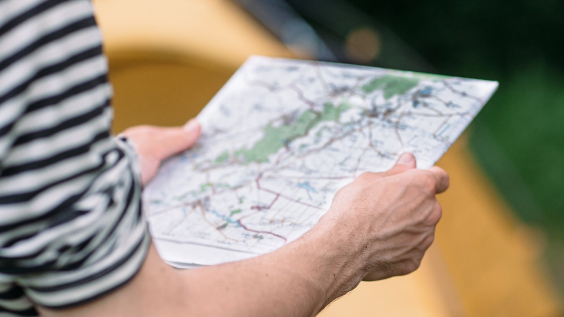
- Create and modify maps, graphs, or diagrams, using geographical information software and related equipment, and principles of cartography, such as coordinate systems, longitude, latitude, elevation, topography, and map scales.
- Gather and compile geographic data from sources such as censuses, field observations, satellite imagery, aerial photographs, and existing maps.
- Teach geography.
Knowledge
Math and Science
- geography
- sociology and anthropology
Arts and Humanities
- English language
Engineering and Technology
- computers and electronics
Education and Training
- teaching and course design
Skills
Basic Skills
- reading work related information
- writing things for co-workers or customers
Problem Solving
- noticing a problem and figuring out the best way to solve it
People and Technology Systems
- thinking about the pros and cons of different options and picking the best one
- figuring out how a system should work and how changes in the future will affect it
Abilities
Verbal
- communicate by writing
- read and understand what is written
Ideas and Logic
- make general rules or come up with answers from lots of detailed information
- use rules to solve problems
Math
- add, subtract, multiply, or divide
- choose the right type of math to solve a problem
Personality
People interested in this work like activities that include ideas, thinking, and figuring things out.
They do well at jobs that need:
- Innovation
- Intellectual Curiosity
- Attention to Detail
- Dependability
- Achievement Orientation
- Adaptability
Technology
You might use software like this on the job:
Analytical or scientific software
- IBM SPSS Statistics

- The MathWorks MATLAB
Presentation software
- Microsoft PowerPoint
Map creation software
- Leica Geosystems ERDAS IMAGINE
- Martin D Adamiker's TruFlite
Education
Education: (rated 4 of 5)
bachelor's degree or
doctoral degree
usually needed
doctoral degree
usually needed
Job Outlook

Below Average
New job opportunities are less likely in the future.

Explore More
- Cartographers & Photogrammetrists
- Data Scientists
- Geographic Information Systems Technologists & Technicians
- Geography Teachers, Postsecondary
- Geoscientists
You might like a career in one of these industries:
See more details at O*NET OnLine about Geographers.